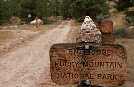
Rocky Mountain National Park.
North-central Colorado.
Established in 1915.


Rocky Mountain National Park.
North-central Colorado.
Established in 1915.
“Heart of the Rockies—Snowy range, Peaks 11,000 to 14,250 feet altitude—remarkable record of glacial period.”
National Park Service report, 1920
One of the original entrances to the park followed the Big Thompson River into Moraine Park. Today it is a hiking path. It starts behind the Dunraven Inn on Colorado Highway 66.
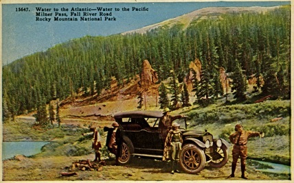
The old Fall RIver Road crossed the Continental Divide at Milner Pass elevation 10,758 feet. Water from the young lady’s bottle will flow into the South Platte River while water from the guide’s bottle will flow into the Colorado River. Trail Ridge Road also crosses the divide here. The high point on Trail Ridge Road is 12, 183 feet.
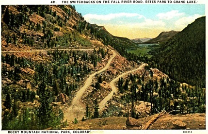
“While not ready yet for general automobile traffic, the east and west sections have been connected on the top of the mountains, and cars can now freely pass over the entire distance between Estes Park and Grand Lake.” National Park Service report, 1920
Fall River Road opened in 1920. It connected Estes Park, on the east side of the Park, and Grand Lake, on the west side. A nine mile section of the road can be driven today. Fall River Road was replaced by Trail ridge Road in 1932.
Bighorn Sheep